

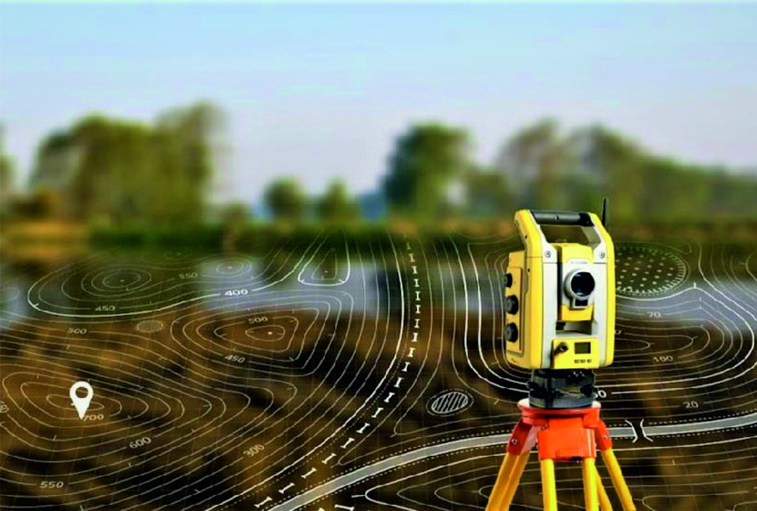
Surveying of all scales, constructing digital terrain, plans and profiles.
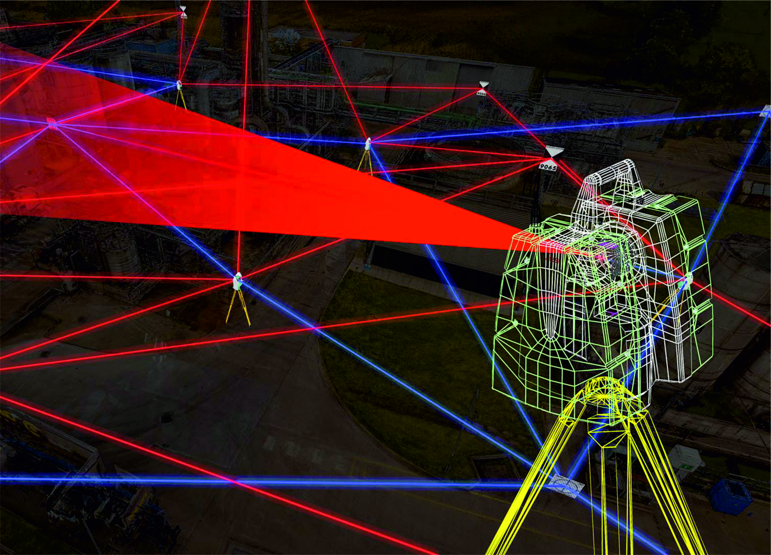
Three-dimensional 3D scanning using ground-based laser scanner and construction of a three-dimensional 3D design model.
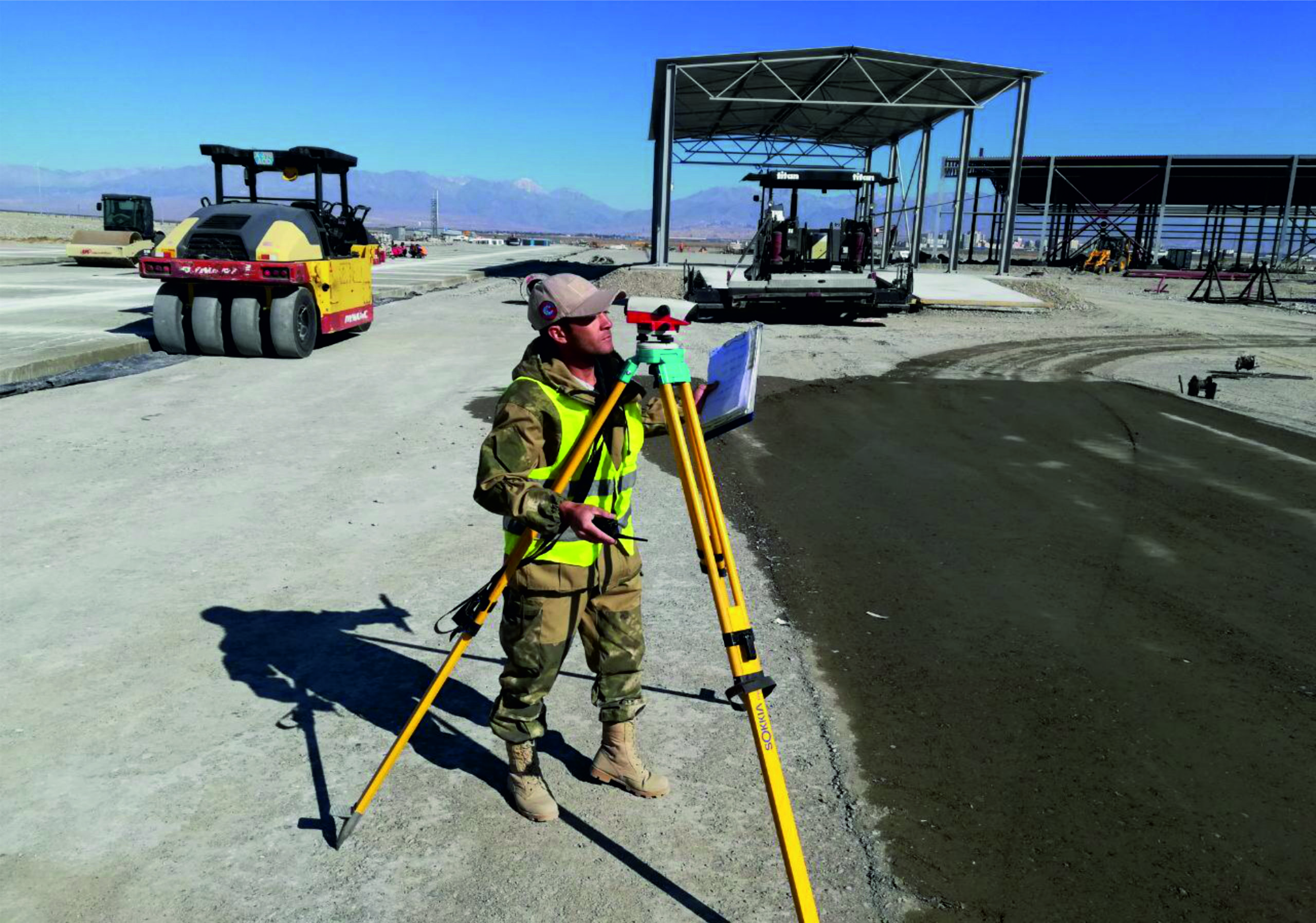
Engineering and geodetic support for construction and installation, including the preparation of executive documents.
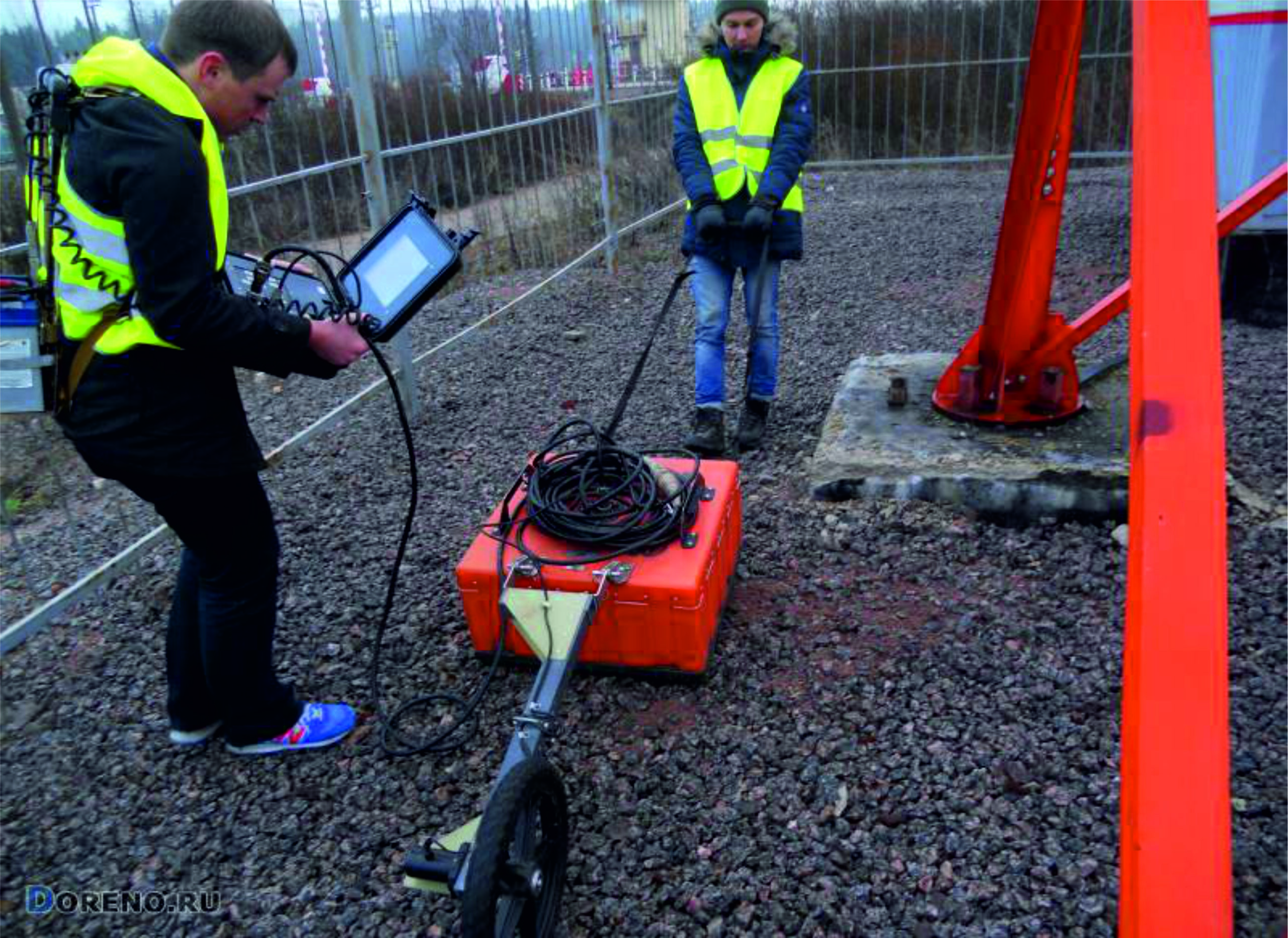
Ground survey of construction sites to detect underground obstacles (lines of communication, pipelines, etc.) and to survey the ground.